DAY 1 Sat 19th
Crimpiau from Capel Curig
Length - 4.5 miles / 7.3 km
Ascent - 1000 feet / 303 metres
Grade - easy/mod
Start - OS grid reference SH720582
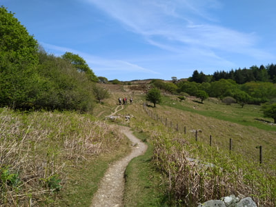
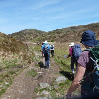
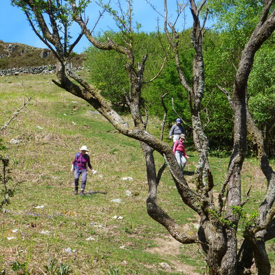
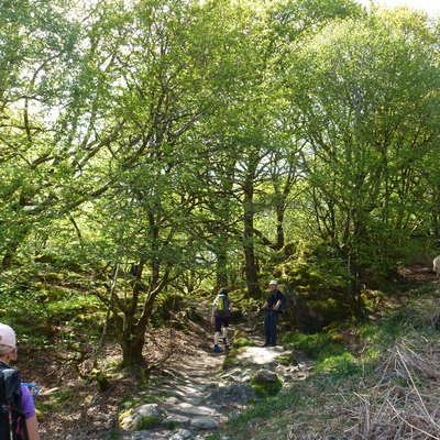
We started from car park in Capel Curig just off the A5 at grid ref. SH720582, taking the signed footpath/bridleway on the left of the chapel to Crafnant. This leads through a section of woodland into increasingly wild country.
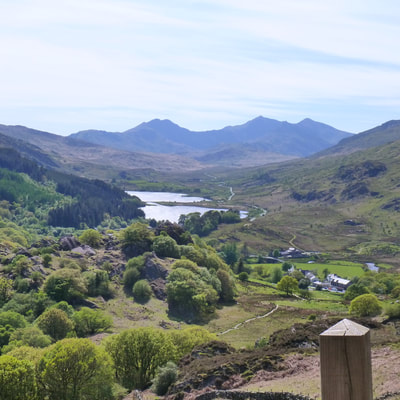
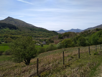
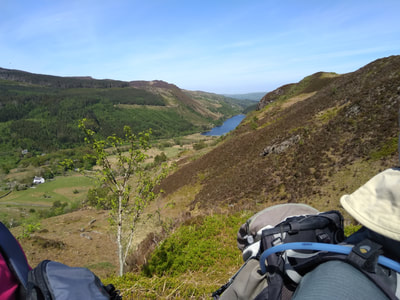
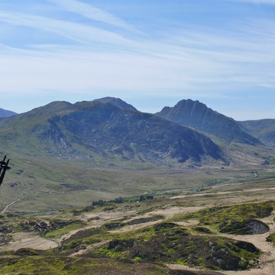
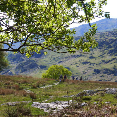
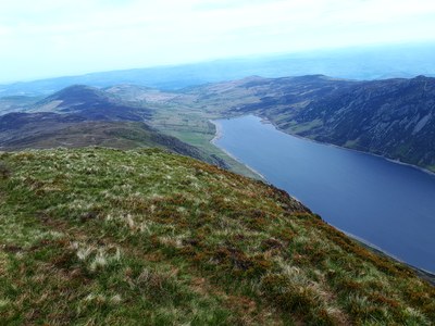
After the footbridge, ignore the footpath on the right and walk north-east up steadily to reach a col (grid ref. SH738597). Before climbing the summit of Crimpiau we continued downhill for about 250 metres on the main path to enjoy the view across Llyn Crafnant some 500 feet below. From the summit we could see north to Tryfan and Bristly Ridge with Glyder Fach which we did on the last 2 days.
We descended following the path southwest down the ridge crossing several stiles eventually meeting the path we used at the start and returning to Capel Curig.
The Carneddau from Llyn Eigiau, Carneddau
Length /16.5km
Ascent - 1103 metres
Start - OS grid reference SH731662
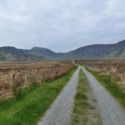
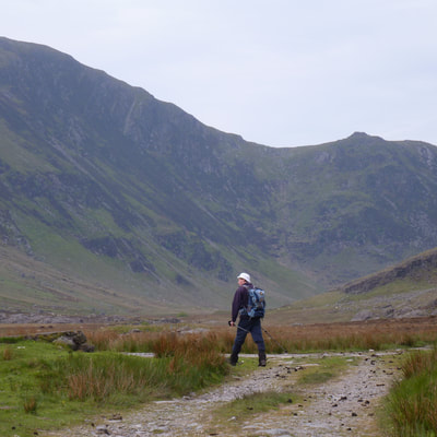
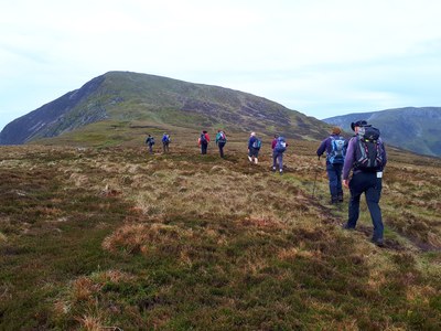
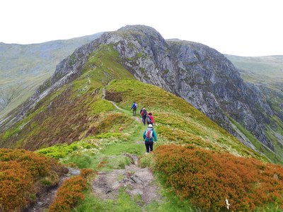
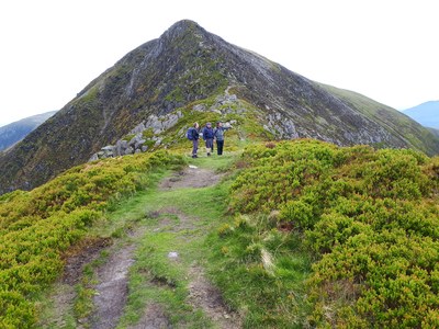
To get to the start of this walk we drove a long winding uphill road with many gates from Tal-y-Bont in the Vale of Conway. After parking following the track heading south towards Llyn Eigau, leaving the main track over mountain terrain to the ridge running south east to summit of Pen Llithrig y Wrach 790m. We then went westerly to the col Bwlch y Tri Marchog and the next summit Pen yr Helgi Du 833m.
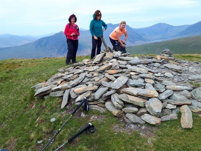
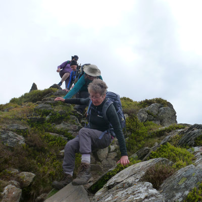
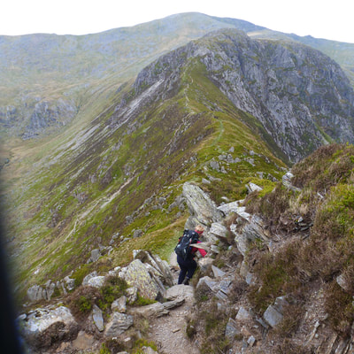
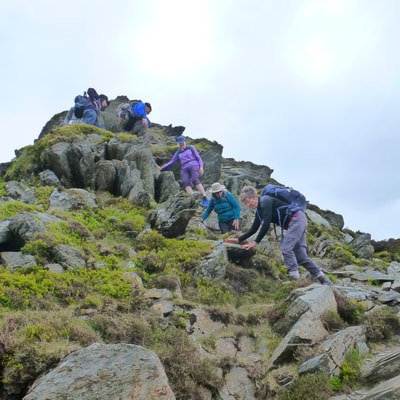
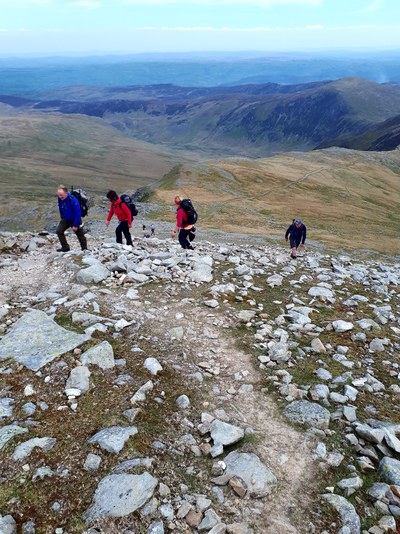
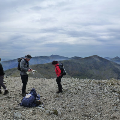
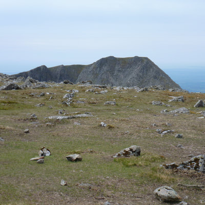
Next scrambled down to Bwlch Eryl Farchog and scramble at start of climb then walking to the summit of Carnedd Llewelyn 1064m. From here we appreciated some of the major peaks and great viewpoints in Snowdonia.
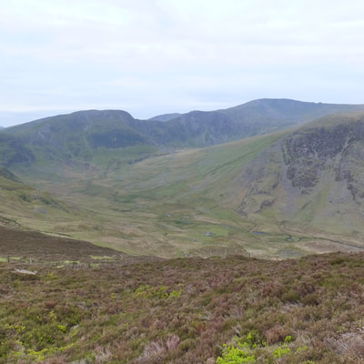
From Carnedd Llewelyn the route led us north toward Foel Grach and then south west to the Cefn Tal-llyn-Eigiau ridge. A pleasant walk to nearly the end of this ridge (where there is great view of the complete walk) where we met the access road to Melynllyn Reservoir. This was followed back to our starting point.

 RSS Feed